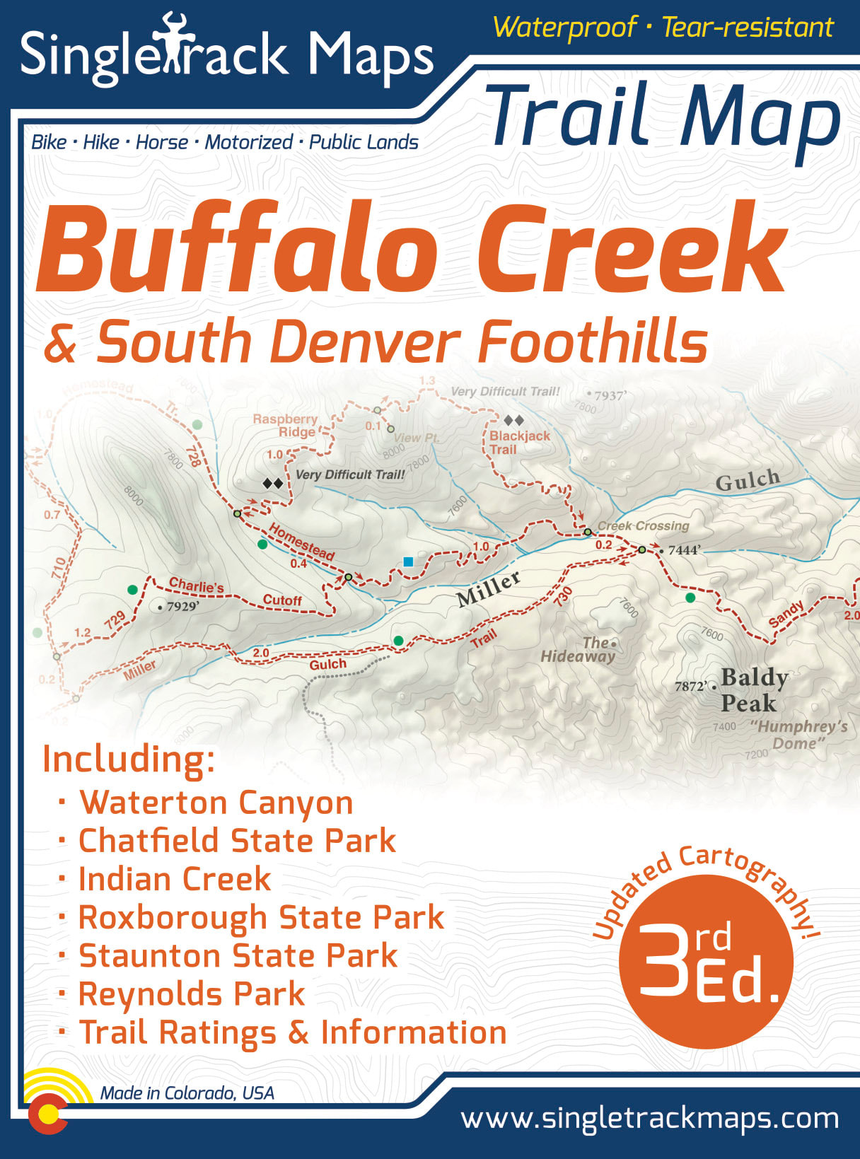

Buffalo Creek Trail Map
SKU:
$13.99
$13.99
per item
Designed for Hike, bike, horse, motorized, public lands, camping & more...
Printed on waterproof & tear resistant paper for rugged toughness!
Map Details:
- Trail Information and Ratings: Easy, Medium, Difficult
- Scale 1:37,382 - 1in = 0.6 Miles or 1in = 0.95 Kilometers
- Detailed Contour Lines. Contour Interval = 40ft
- Measures 4” x 5.5” folded and 36” x 22” fully open
- 3rd Edition - Printed in August 2018
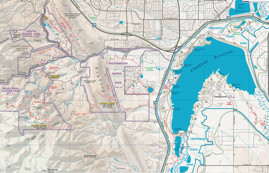
This map includes the South Denver Metro Foothills on the reverse side!
|
Map Includes:
|
|
Also Includes;
|
|
Detailed
We have spent years collecting geographic data and using local knowledge to give you the most detailed cartography for Buffalo Creek & the Front Range. Lots of the information and geographic knowledge on this map can't be found on any other maps! |
|
Field Checked in person!
Field checked cartography for the most up-to-date map available! We don’t rely on other parties for our data, we get outside and collect our own trail and geographic data. We are cartographers and our job is to make the best possible map for you, the user. We are NOT web programers putting digital overlays onto web maps just so that we can earn money from advertising. |
|
|
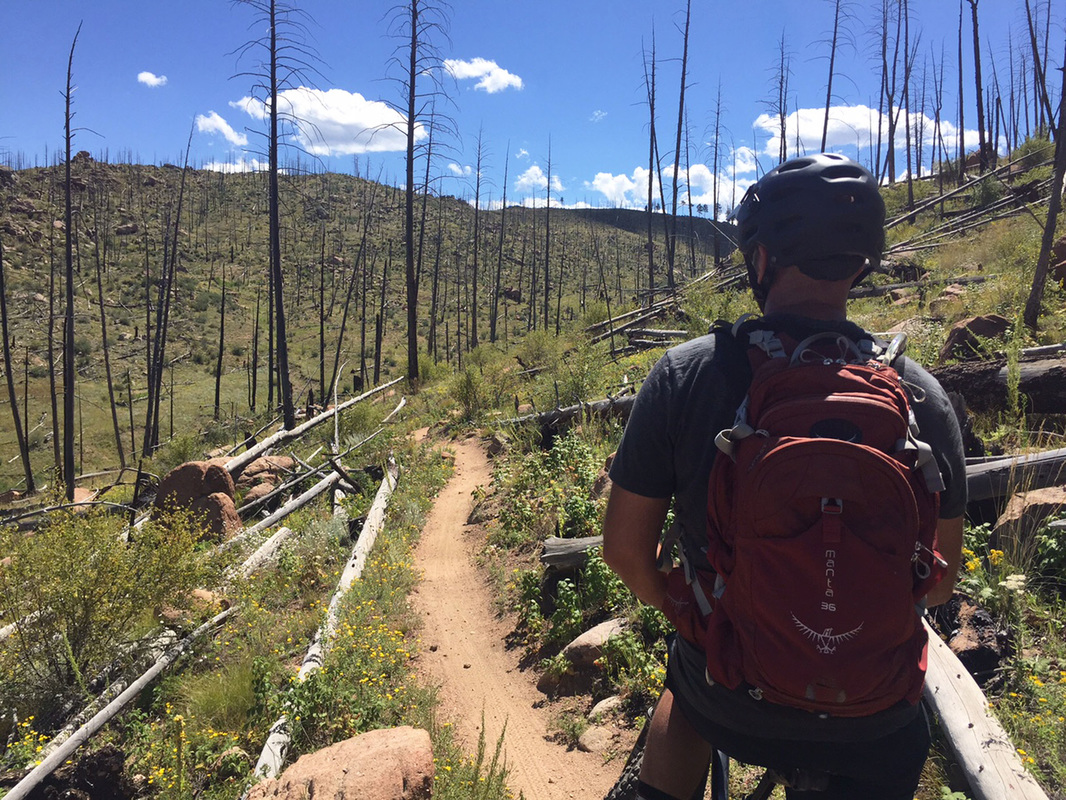
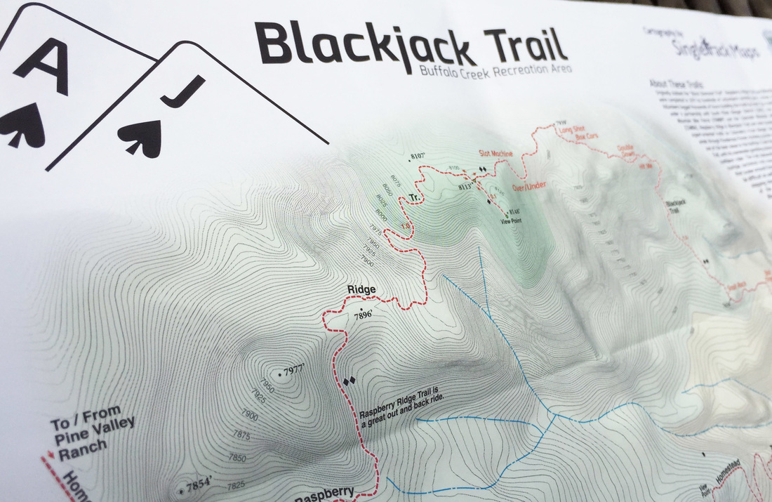
Blackjack Trail Detail
Blackjack trail has quickly become the premier technical trail on Colorado's Front Range. This detail map includes trail obstacle names, detailed contours lines and geographic information. |
|
Important Information
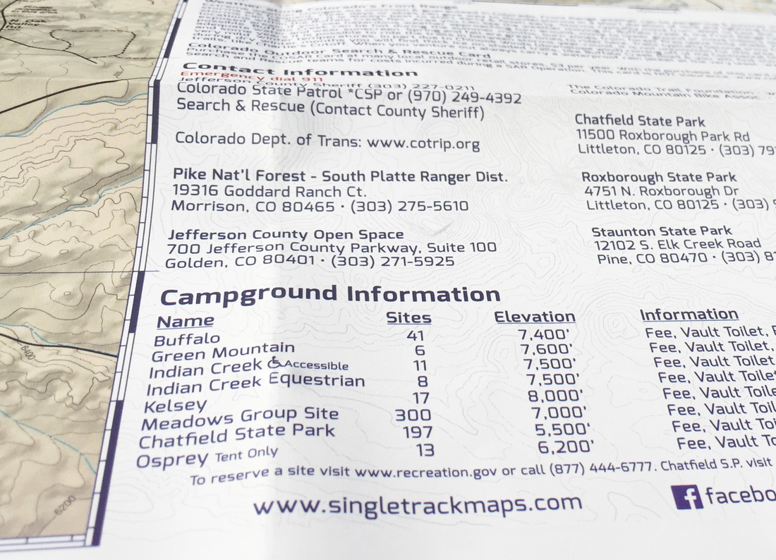
Campground Information, detailed map notes & more! |
|

