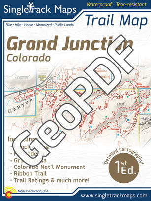
Grand Jct. Trail Map - GeoPDF (iPhone, Android or Windows)
|
Get the same detail of the printed Grand Jct. Map in a digital PDF to use on your digital device!*
Avenza Maps is a digital app that can be downloaded for free from the App Store.
Click here or search "Avenza Maps" With the Singletrack Maps Grand Jct. GeoPDF Map you can:
|
Each side is available for purchase separately.
Click on the links below for more information. 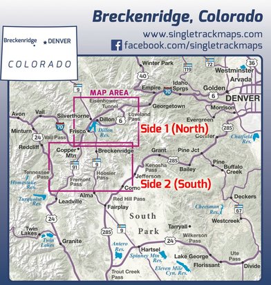
To purchase Lunch Loops Side ($5.99) - CLICK HERE
*This digital GeoPDF map is NOT a replacement for a printed hardcopy map. Do NOT rely on a digital device or adequate cell phone reception when traveling in the backcountry. We highly recommend you purchase the printed version. To visit the printed version page click here.
|
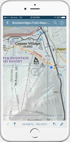
The same detail you always expect from our printed maps but in digital format on your phone.
|
(Screen Capture - iPhone 6)
|
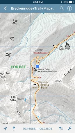
(Screen Capture - iPhone 6)
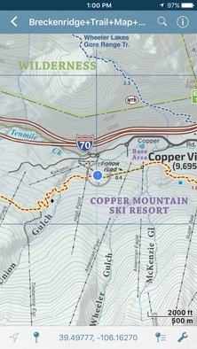
Find where you are using GPS!
|
Find your location using GPS
|
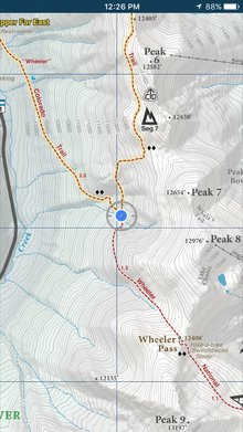
Add Placemarks.
|
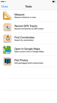
Measure or Track using the app tools.
|
(Screen Capture - iPhone 6)


|

|
© 2023 Singletrack Maps, LLC • All Rights Reserved.