

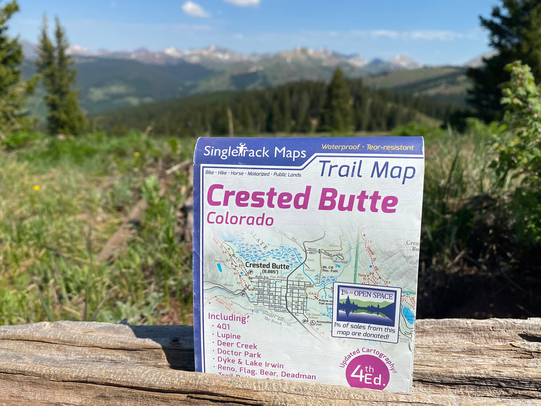
Crested Butte Trail Map
SKU:
$16.99
$16.99
per item
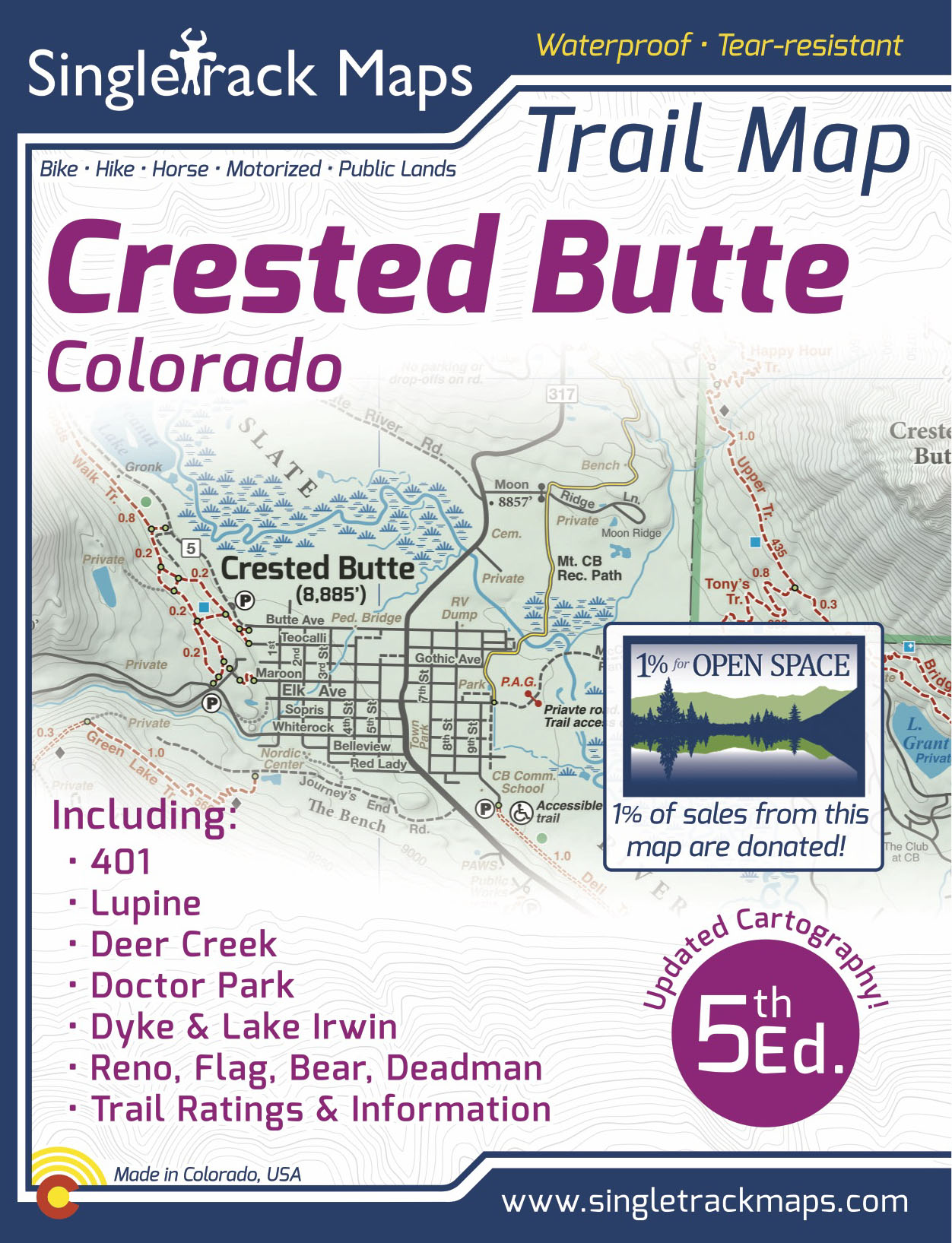
Designed for Hike, bike, horse, motorized, public lands, camping & more...
Printed on waterproof & tear resistant paper for rugged toughness!
Map Details:
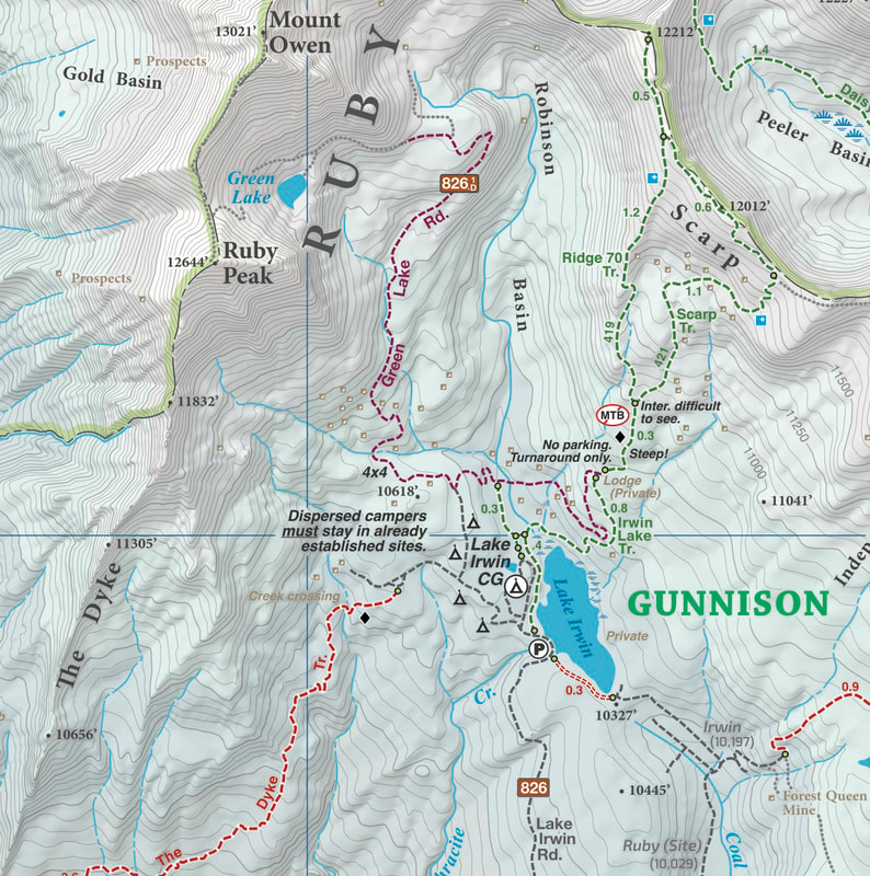
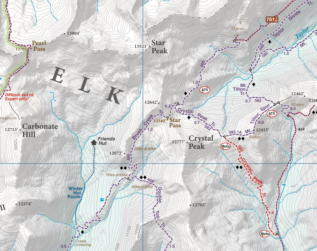
- Trail Information and Ratings: Easy, Medium, Difficult
- Scale 1:60,000 - 1in = 0.95 Miles or 1in = 1.5 Kilometers
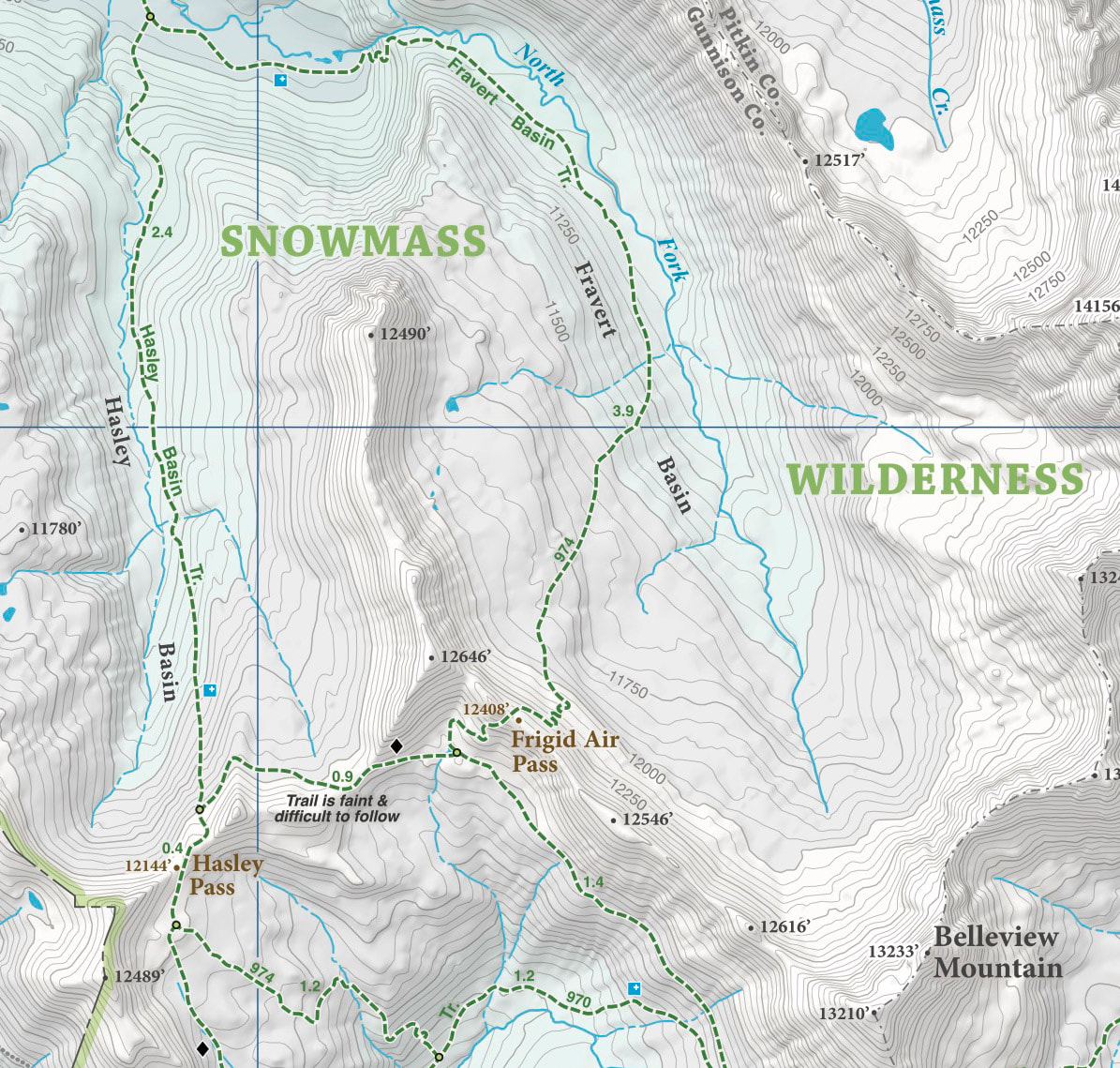
- Detailed Contour Lines. Contour Interval = 50ft
- Measures 4” x 5.5” folded and 36” x 22” fully open
- 5th Edition
Field Checked & Accurate!
Field checked cartography for the most accurate and up-to-date map available! We don’t rely on other parties for our data, we get outside and collect our own trail and geographic data
Field checked cartography for the most accurate and up-to-date map available! We don’t rely on other parties for our data, we get outside and collect our own trail and geographic data
|
Map Includes:
|
|
|
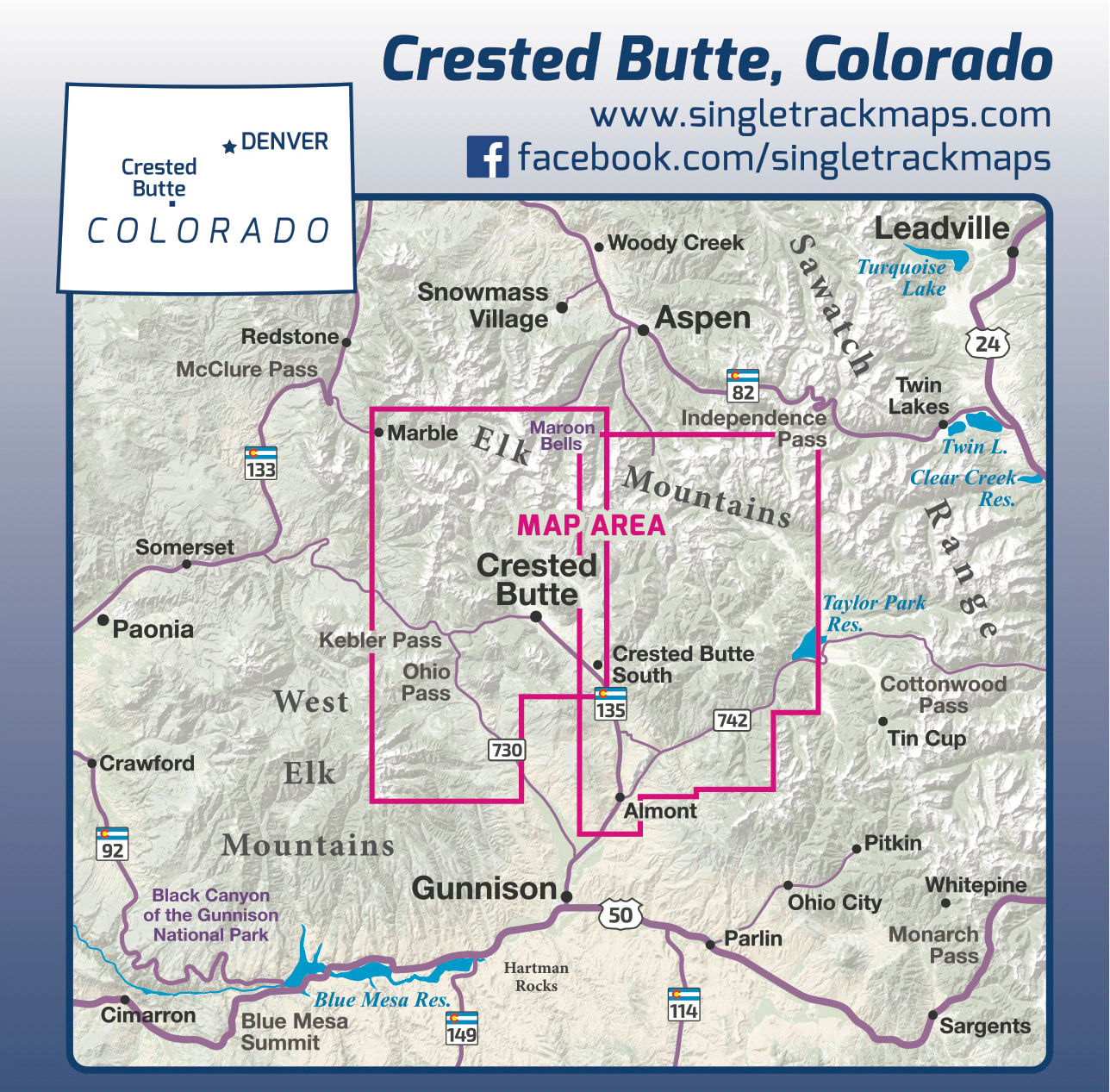
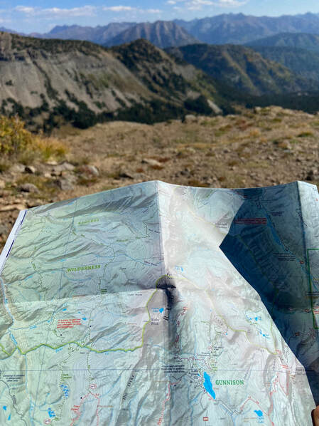
See the Whole Picture
Stop staring at that tiny phone screen & see the entire landscape in one glance on this map! Beautiful and accurate cartography gives you the "big picture" view without having to scroll around on a 4" digital screen. No batteries or power required, ever! |
|
|
Detailed
We have spent years collecting geographic data and using local knowledge to give you the most detailed cartography for Crested Butte. Lots of the information and geographic knowledge on this map can't be found on any other maps! |
|
The right information you need
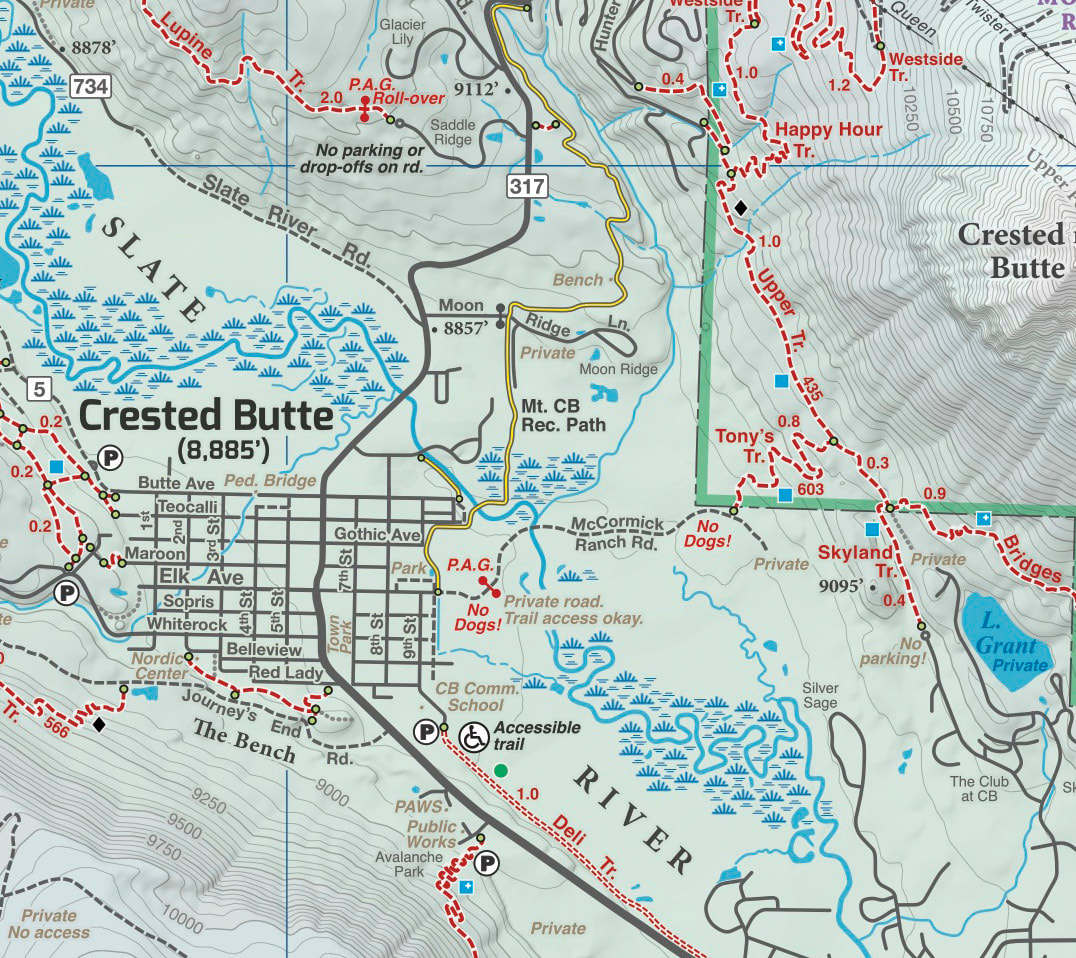
Roads, trails, paved paths, rivers and other important information. |
|
|
Not just a mountain bike map!
Our maps include information for every user type. Trails are colored for Non-motorized Multi-Use, Motorized & Hiker only. |
Local
Made in Colorado! From the cartography to the final printing. Every step takes place in Colorado. Buy Local!
Made in Colorado! From the cartography to the final printing. Every step takes place in Colorado. Buy Local!

