Singletrack Maps
  • Trail Maps
    • Salida & Buena Vista Trail Map
    • Hartman Rocks Trail Map
    • Crested Butte Trail Map
    • Durango Trail Map
    • Phil's World Trail Map
    • Fruita Trail Map
    • Grand Junction Trail Map
    • Breckenridge Trail Map
    • Golden Trail Map
    • Buffalo Creek Trail Map
  • Map Prints
    • Salida Trail Map Print
    • Crested Butte Trail Map Print
    • Golden Trail Map Print
    • Colorado High Rockies Wall Map
  • GeoPDF Trail Maps
    • Fruita - GeoPDF
    • Grand Junction - GeoPDF
    • Breckenridge - GeoPDF
    • Golden - GeoPDF
    • Crested Butte - GeoPDF
    • Salida - GeoPDF
    • Hartman Rocks - GeoPDF
    • Buffalo Creek - GeoPDF
    • Durango - GeoPDF
    • Ft. Collins & Lyons - GeoPDF
  • Services
  • Contact Us

Trail Maps

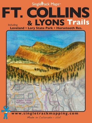
Ft. Collins & Lyons Trail Map

Also includes Loveland, Masonville, Pinewood Springs, and Big Elk Meadows!
Map Includes:
  • Lory State Park

  • Horsetooth Mountain Park

  • Horsetooth Reservoir

  • Bobcat Ridge Natural Area

  • Coyote Ridge Natural Area

  • Cathy Fromme Prairie

  • Rimrock Open Space

  • Devil’s Backbone Trail

  • Blue Sky Trail

  • Indian Summer Trail


  • Lyons Trails

  • Hall Ranch Open Space

  • Bitterbrush Trail

  • Nelson Loop

  • Heil Ranch Open Space

  • Picture Rock Trail

  • Lion Gulch Trail

  • Homestead Meadows

  • Johnny Park 4X4

  • Button Rock Preserve
Printed on waterproof & tear resistant paper for rugged toughness!
Map Boundaries:

Side 1 - Ft. Collins / Loveland
North: Laporte
South: Loveland
East: Moby Arena
West: Bobcat Ridge


Side 2 - Lyons:
North: Lion’s Gulch
South: Lefthand & US36
East: Table Mountain
West: Miller Rock

Map Details:
Trail Difficulty Ratings: Easy, Medium, Difficult

Scale 1:31,680 - 1in = 0.5mi or 1in = 0.8km

Contour Interval = 100ft

Measures 4” x 5.5” folded & 34” x 22” fully open

Information & descriptions for select trails. 
Including mileage & elevation gain / loss.


Pocket Size!
Our maps are designed to easily fit into a jersey pocket, bike shorts or just a regular pocket! No need to take your backpack off and dig out that map.
Picture
Picture
CURRENTLY OUT OF STOCK
-check back soon for more-

Picture
Picture
Picture
© 2023 Singletrack Maps, LLC • All Rights Reserved.